Connect Google Maps and PostgreSQL integrations
Connect Google Maps and PostgreSQL with any of your favorite apps in just a few clicks. Design, build, and automate anything for your work by integrating apps like Google Maps and PostgreSQL to create visual automated workflows. Choose from thousands of ready-made apps or use our no-code toolkit to connect to apps not yet in our library.
Gets the details of a location by either input address or geocodes.
Provides elevation data for all locations on the surface of the earth, including depth locations on the ocean floor by input geographic coordinates
Returns an static image (PNG or JPG) of Google Map.
Gets the details of a timezone by geographical coordinates.
Performs an arbitrary authorized API call.


Trusted by thousands of fast-scaling organizations around the globe
Automate your work. Build something new.
Just drag and drop apps to automate existing workflows or build new complex processes. Solve problems across all areas and teams.
Build your Google Maps and PostgreSQL integrations.
Create custom Google Maps and PostgreSQL workflows by choosing triggers, actions, and searches. A trigger is an event that launches the workflow, an action is the event.
Returns the most efficient routes when calculating directions.
Identifies the roads a vehicle was traveling along and provides additional metadata about those roads, such as speed limits.
Provides travel distance and time for a matrix of origins and destinations.
Gets the details of a location by either input address or geocodes.
Returns an static image (PNG or JPG) of Google Map.
Gets the details of a timezone by geographical coordinates.
Popular Google Maps and PostgreSQL workflows.
Looking to get more out of Google Maps and PostgreSQL? With Make you can visually integrate Google Maps and PostgreSQL into any workflow to save time and resources — no coding required. Try any of these templates in just a few clicks.
FAQ
Start by registering for Make. As a new Make user, you’ll automatically be assigned a free account. Once your account is set up, you can start creating your first scenarios. We recommend starting with our step-by-step video tutorial.
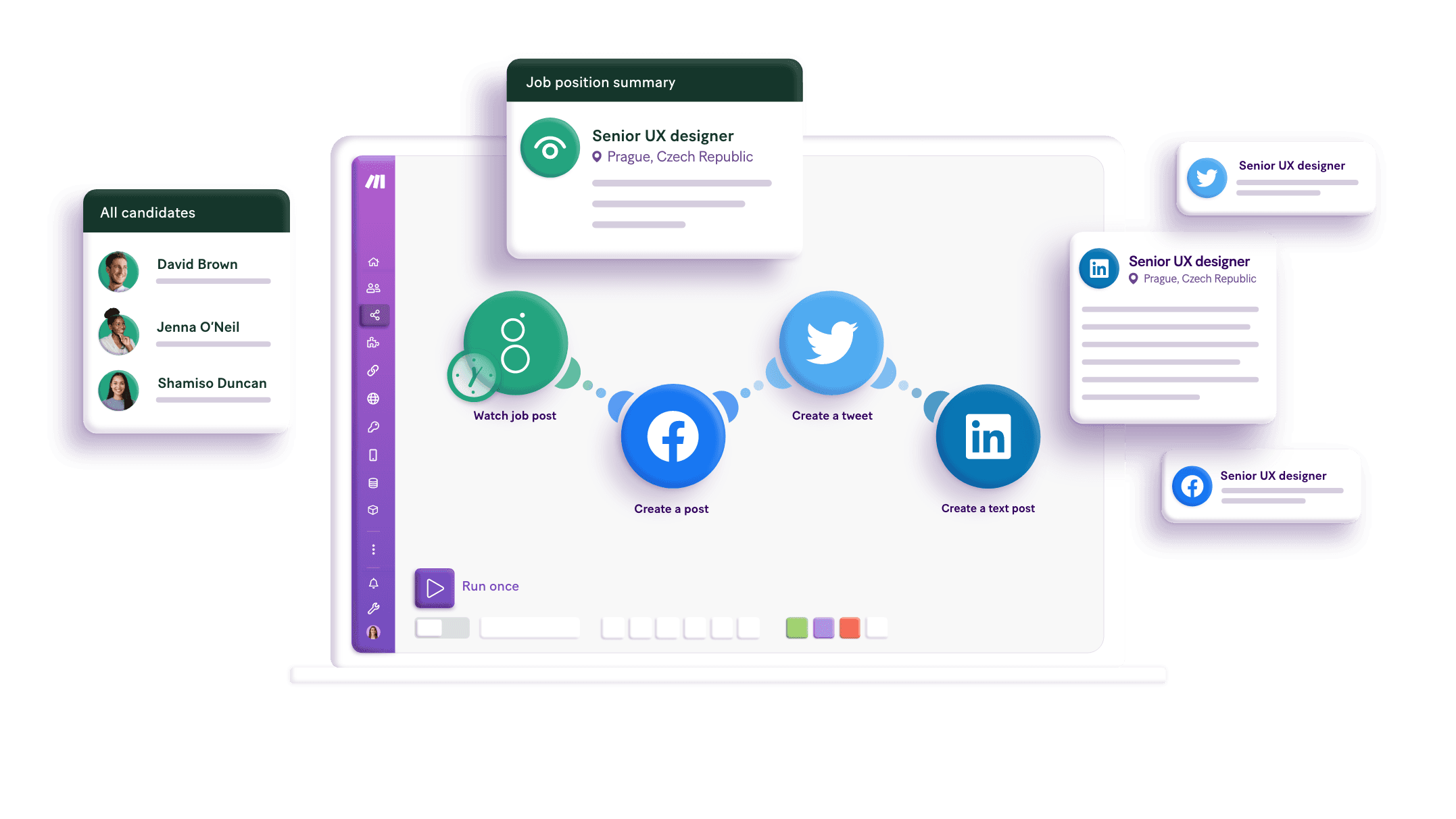
A scenario represents a workflow or a project of your own creation, and it is made up of a series of modules that automate apps and services. Creating a scenario allows you to transfer and transform data between apps and services via these modules to automate anything and improve the way you work.
Modules are the main building blocks of automation in Make. Modules represent actions that Make performs with an app, like creating, updating, or deleting data.
Mapping links the modules in your scenario. When you map an item, you connect the data retrieved by one module to another module to perform the desired action. For example, you can map email addresses and subject lines to create a spreadsheet using this data.
How it works
Traditional no-code iPaaS platforms are linear and non-intuitive. Make allows you to visually create, build, and automate without limits.
Trusted by 350,000+ customers
"Make really helped us to scale our operations, take the friction out of our processes, reduce costs, and relieved our support team. It is difficult to not become a fan."

Philipp Weidenbach
Head of Operations at Teleclinic
"Make drives unprecedented efficiency within our business in ways we never imagined. It’s having an extra employee (or 10) for a fraction of the cost."

Cayden Phipps
COO at Shop Accelerator Martech
"The simplicity, flexibility and ability to build real complex automations without any knowledge of programming makes it the best thing since sliced bread."

Erkki Markus
Product Owner at Smaily
"True citizen development in the entire company. Make is present in every department, empowering the company to offer a unique customer experience."

Andreas Stryz
CTO & Co-founder at FINN
"I can't count the number of hours I've saved by using Make. Every single day is simpler because of Make's automation."

Kimberly D
Owner of Media Production